Friday, November 23, 2012

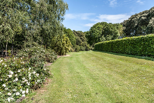
St. Anne's Park

St Anne's Park is a very large public park shared between Raheny and Clontarf, both suburbs on the northside of Dublin.
The park, the second largest municipal park in Dublin, is part of a former 202 hectares (500 acres) estate assembled by members of the Guinness family, beginning with Benjamin Lee Guinness in 1835 (the largest municipal park is nearby (North) Bull Island, also shared between Clontarf and Raheny).
Features include an artificial pond and a number of follies.
The follies include a Herculanean Temple on the banks of the Duck Pond and a viewing tower (once part of the estate's mansion house) and three fortifications. An ornamental bridge high over the Naniken River had its central portion removed in the 1980s, though the Roman-style building at the mansion-side landing point remains, while a "Druidic Circle" of Giant's Causeway basalt was lost at an earlier stage. The viewing tower has been closed for many years.
The walled garden, including a fruit garden added to the estate by Bishop Plunkett, is now chiefly a 12 acre (49,000 m²) plant nursery for the Parks Department. Thousands of bedding plants, shrubs, trees, and floral tubs are produced annually in the nursery. There is a herbaceous garden area open during limited hours, and a fine clock tower, restored to working order in 2007.
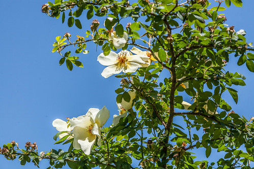
In 1975, St Anne's Rose Garden was opened to the public. In 1980 it was given a Civic Award by Bord Failte and the Irish Town Planning Institute, and since 1981 it has been a centre for International Rose Trials.
Ringsend Park (Dublin)

Ringsend is a southside inner suburb of Dublin, the capital of Ireland. It is located on the south bank of the River Liffey, about two kilometres east of the city centre, and is the southern terminus of the East Link Toll Bridge.
Formerly the point where ships arriving across the Irish Sea would dock, Ringsend went into decline in the 19th and 20th centuries, when the shipping moved to ports further south along the coast, although there is still some local container shipping.
Ringsend Community Garden
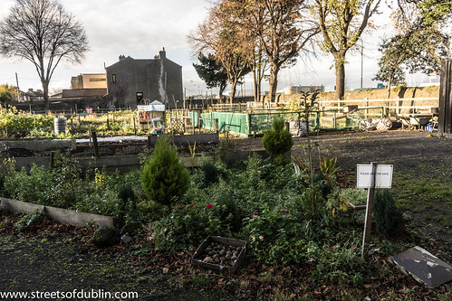
Ringsend Community Garden
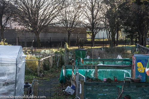
On a pilot basis, Dublin City Council will introduced a community garden within Ringsend Park in which people can grow and cultivate vegetables and plants.
All residents of Dublin City Council were eligible to apply for the Scheme. As this is a community based garden scheme, priority was be given to residents living in the immediate area.
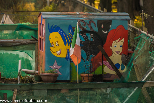
Ringsend Community Garden
Ringsend Community Garden
On a pilot basis, Dublin City Council will introduced a community garden within Ringsend Park in which people can grow and cultivate vegetables and plants.
All residents of Dublin City Council were eligible to apply for the Scheme. As this is a community based garden scheme, priority was be given to residents living in the immediate area.